Track Through Hurn Forest (2)
Introduction
The photograph on this page of Track Through Hurn Forest (2) by Nigel Mykura as part of the Geograph project.
The Geograph project started in 2005 with the aim of publishing, organising and preserving representative images for every square kilometre of Great Britain, Ireland and the Isle of Man.

There are currently over 7.5m images from over 14,400 individuals and you can help contribute to the project by visiting https://www.geograph.org.uk
Track Through Hurn Forest (2)
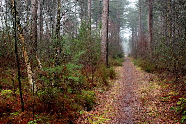
Image: © Nigel Mykura Taken: 6 Mar 2019
This track is in the small piece of forest that lies between the Moors River and the River Avon . It is also between Matchams Lane and the A338 dual carriageway main road
Images are licensed for reuse under creativecommons.org/licenses/by-sa/2.0
Image Location
Latitude
50.788895
Longitude
-1.816091