Dollis Brook and Greenwalk in Finchley
Introduction
The photograph on this page of Dollis Brook and Greenwalk in Finchley by Des Blenkinsopp as part of the Geograph project.
The Geograph project started in 2005 with the aim of publishing, organising and preserving representative images for every square kilometre of Great Britain, Ireland and the Isle of Man.

There are currently over 7.5m images from over 14,400 individuals and you can help contribute to the project by visiting https://www.geograph.org.uk
Dollis Brook and Greenwalk in Finchley
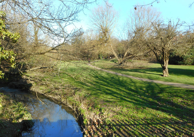
Image: © Des Blenkinsopp Taken: 26 Feb 2019
The Dollis Valley Greenwalk is a 16km route linking the London Loop and Capital Ring long distance paths. A lot of its route was laid out as the Brookside Walk in the 1930s by the former Borough of Finchley. https://en.wikipedia.org/wiki/Dollis_Valley_Greenwalk
Images are licensed for reuse under creativecommons.org/licenses/by-sa/2.0
Image Location
Latitude
51.611746
Longitude
-0.193108