Farm Building Conversion, Horley
Introduction
The photograph on this page of Farm Building Conversion, Horley by Richard Rogerson as part of the Geograph project.
The Geograph project started in 2005 with the aim of publishing, organising and preserving representative images for every square kilometre of Great Britain, Ireland and the Isle of Man.

There are currently over 7.5m images from over 14,400 individuals and you can help contribute to the project by visiting https://www.geograph.org.uk
Farm Building Conversion, Horley
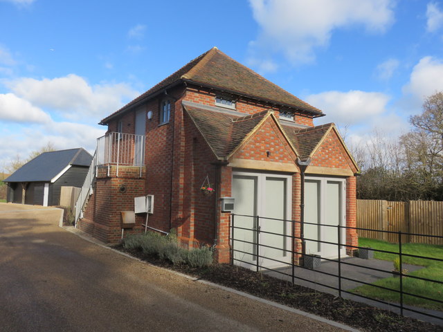
Image: © Richard Rogerson Taken: 10 Mar 2019
This was the Grainary at Landens Farm. It has been converted into a three bedroomed house as part of the new Malthouse Lane development on the north western side of Horley. This image Image shows the building in February 2008, before renovation.
Images are licensed for reuse under creativecommons.org/licenses/by-sa/2.0
Image Location
Latitude
51.184806
Longitude
-0.183382