Old Croxton Park House
Introduction
The photograph on this page of Old Croxton Park House by Kate Jewell as part of the Geograph project.
The Geograph project started in 2005 with the aim of publishing, organising and preserving representative images for every square kilometre of Great Britain, Ireland and the Isle of Man.

There are currently over 7.5m images from over 14,400 individuals and you can help contribute to the project by visiting https://www.geograph.org.uk
Old Croxton Park House
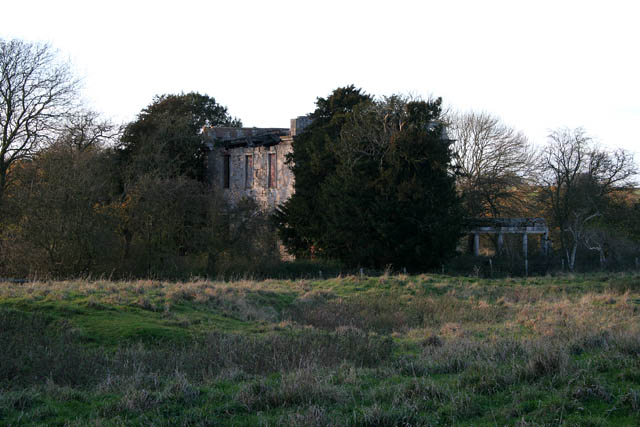
Image: © Kate Jewell Taken: 9 Nov 2007
See Image for information. This shows the extent of the colonnade on the north front. Look at Google Earth to get a bird's eye view.
Images are licensed for reuse under creativecommons.org/licenses/by-sa/2.0
Image Location
Latitude
52.838449
Longitude
-0.77789