Back gardens and a Munro, Killin
Introduction
The photograph on this page of Back gardens and a Munro, Killin by Jim Barton as part of the Geograph project.
The Geograph project started in 2005 with the aim of publishing, organising and preserving representative images for every square kilometre of Great Britain, Ireland and the Isle of Man.

There are currently over 7.5m images from over 14,400 individuals and you can help contribute to the project by visiting https://www.geograph.org.uk
Back gardens and a Munro, Killin
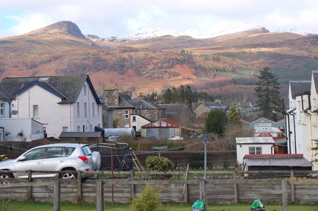
Image: © Jim Barton Taken: 7 Mar 2019
Looking parallel to the Main Street with Creag na Caillich to the left and the snow-covered ridge along the skyline to Meall nan Tarmachan.
Images are licensed for reuse under creativecommons.org/licenses/by-sa/2.0
Image Location


Leaflet Map data © OpenStreetMap
Latitude
56.467011
Longitude
-4.317662