B2082 Rye Road
Introduction
The photograph on this page of B2082 Rye Road by Robin Webster as part of the Geograph project.
The Geograph project started in 2005 with the aim of publishing, organising and preserving representative images for every square kilometre of Great Britain, Ireland and the Isle of Man.

There are currently over 7.5m images from over 14,400 individuals and you can help contribute to the project by visiting https://www.geograph.org.uk
B2082 Rye Road
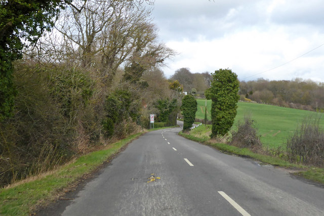
Image: © Robin Webster Taken: 10 Mar 2019
Heading towards Wittersham and about to climb out of the Rother valley via a 15% hill.
Images are licensed for reuse under creativecommons.org/licenses/by-sa/2.0
Image Location
Latitude
51.005324
Longitude
0.726606