Brookfoot House, Low Lane, Horsforth
Introduction
The photograph on this page of Brookfoot House, Low Lane, Horsforth by Humphrey Bolton as part of the Geograph project.
The Geograph project started in 2005 with the aim of publishing, organising and preserving representative images for every square kilometre of Great Britain, Ireland and the Isle of Man.

There are currently over 7.5m images from over 14,400 individuals and you can help contribute to the project by visiting https://www.geograph.org.uk
Brookfoot House, Low Lane, Horsforth
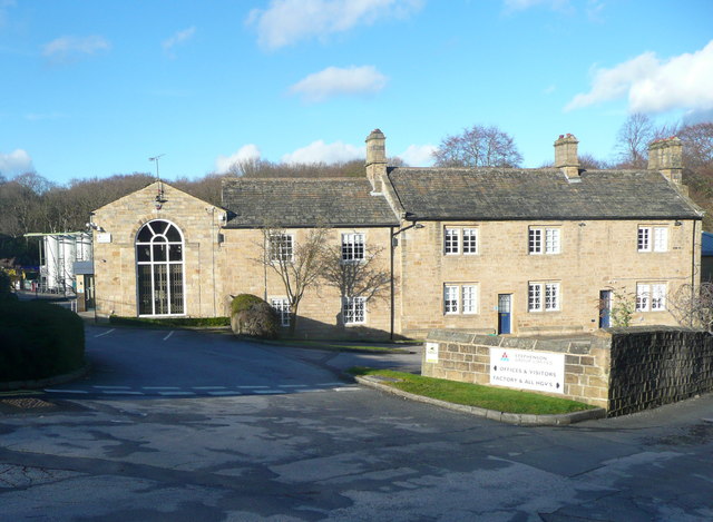
Image: © Humphrey Bolton Taken: 9 Mar 2019
This is a 17C house altered in the 18C and listed, Grade II along with the 18C cottages on each side. The listing details do not mention the part on the left with the tall round-headed window.
Images are licensed for reuse under creativecommons.org/licenses/by-sa/2.0
Image Location
Latitude
53.843882
Longitude
-1.629578