Ferring Rife
Introduction
The photograph on this page of Ferring Rife by Mike Faherty as part of the Geograph project.
The Geograph project started in 2005 with the aim of publishing, organising and preserving representative images for every square kilometre of Great Britain, Ireland and the Isle of Man.

There are currently over 7.5m images from over 14,400 individuals and you can help contribute to the project by visiting https://www.geograph.org.uk
Ferring Rife
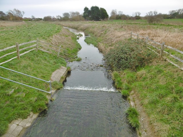
Image: © Mike Faherty Taken: 9 Mar 2019
Drainage ditch rising in the South Downs and discharging into the sea to the South; looking downstream from Image
Images are licensed for reuse under creativecommons.org/licenses/by-sa/2.0
Image Location
Latitude
50.811463
Longitude
-0.455535