School Street in Audlem, Cheshire
Introduction
The photograph on this page of School Street in Audlem, Cheshire by Roger Kidd as part of the Geograph project.
The Geograph project started in 2005 with the aim of publishing, organising and preserving representative images for every square kilometre of Great Britain, Ireland and the Isle of Man.

There are currently over 7.5m images from over 14,400 individuals and you can help contribute to the project by visiting https://www.geograph.org.uk
School Street in Audlem, Cheshire
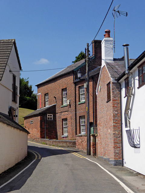
Image: © Roger Kidd Taken: 7 Jun 2018
Looking north-west towards the junction with Stafford Street. The red brick building at the top of the hill was a post office and store until 2016. It appears to have been re-opened by 2018.
Images are licensed for reuse under creativecommons.org/licenses/by-sa/2.0
Image Location
Latitude
52.9891
Longitude
-2.50734