Footpath through meadows by Audlem, Cheshire
Introduction
The photograph on this page of Footpath through meadows by Audlem, Cheshire by Roger Kidd as part of the Geograph project.
The Geograph project started in 2005 with the aim of publishing, organising and preserving representative images for every square kilometre of Great Britain, Ireland and the Isle of Man.

There are currently over 7.5m images from over 14,400 individuals and you can help contribute to the project by visiting https://www.geograph.org.uk
Footpath through meadows by Audlem, Cheshire
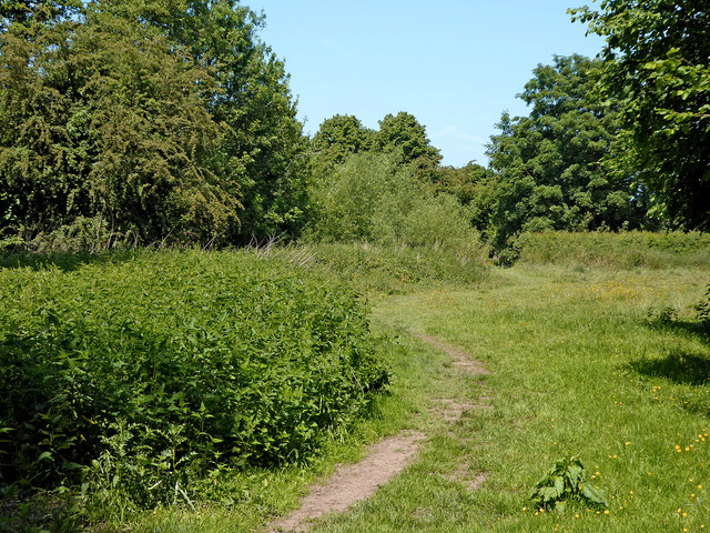
Image: © Roger Kidd Taken: 7 Jun 2018
Looking north and approaching Audlem, a popular public footpath through fields and meadows links Copthorne with Audlem, crossing the Shropshire Union Canal at Lock No 11. About a hundred metres ahead the footpath enters the village via Vicarage Lane.
Images are licensed for reuse under creativecommons.org/licenses/by-sa/2.0
Image Location
Latitude
52.987577
Longitude
-2.50613