Old Boundary Marker by the A120, Hadham Road
Introduction
The photograph on this page of Old Boundary Marker by the A120, Hadham Road by Milestone Society as part of the Geograph project.
The Geograph project started in 2005 with the aim of publishing, organising and preserving representative images for every square kilometre of Great Britain, Ireland and the Isle of Man.

There are currently over 7.5m images from over 14,400 individuals and you can help contribute to the project by visiting https://www.geograph.org.uk
Old Boundary Marker by the A120, Hadham Road
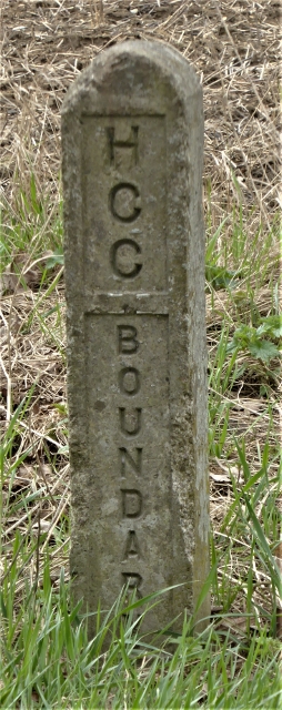
Image: © Milestone Society Taken: Unknown
Municipal Boundary Marker by the A120, in parish of Little Hadham (East Hertfordshire District), Hadham Road, verge, South side of road. There are several similar concrete posts along this stretch of the road. Inscription reads vertically:- HCC BOUNDARY Surveyed Milestone Society National ID: HE_LHAD01pb
Images are licensed for reuse under creativecommons.org/licenses/by-sa/2.0
Image Location


Leaflet Map data © OpenStreetMap
Latitude
51.878291
Longitude
0.119903