Thorite House, Laisterdyke
Introduction
The photograph on this page of Thorite House, Laisterdyke by Stephen Armstrong as part of the Geograph project.
The Geograph project started in 2005 with the aim of publishing, organising and preserving representative images for every square kilometre of Great Britain, Ireland and the Isle of Man.

There are currently over 7.5m images from over 14,400 individuals and you can help contribute to the project by visiting https://www.geograph.org.uk
Thorite House, Laisterdyke
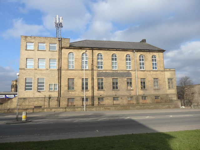
Image: © Stephen Armstrong Taken: 25 Feb 2018
The two flat roofed extensions are obviously later additions to the original building which was probably a Methodist Chapel. There is an OS Cut Benchmark Image between the 1st & 2nd low level windows from the right, on the original building.
Images are licensed for reuse under creativecommons.org/licenses/by-sa/2.0
Image Location
Latitude
53.789206
Longitude
-1.718096