Zetland Square, Middlesbrough
Introduction
The photograph on this page of Zetland Square, Middlesbrough by Malc McDonald as part of the Geograph project.
The Geograph project started in 2005 with the aim of publishing, organising and preserving representative images for every square kilometre of Great Britain, Ireland and the Isle of Man.

There are currently over 7.5m images from over 14,400 individuals and you can help contribute to the project by visiting https://www.geograph.org.uk
Zetland Square, Middlesbrough
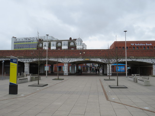
Image: © Malc McDonald Taken: 3 Mar 2019
Zetland Square in the centre of Middlesbrough. The low viaduct in the foreground carries the A66 dual carriageway through the town centre.
Images are licensed for reuse under creativecommons.org/licenses/by-sa/2.0
Image Location
Latitude
54.578558
Longitude
-1.236491