Cleveland Way near Saltburn
Introduction
The photograph on this page of Cleveland Way near Saltburn by Malc McDonald as part of the Geograph project.
The Geograph project started in 2005 with the aim of publishing, organising and preserving representative images for every square kilometre of Great Britain, Ireland and the Isle of Man.

There are currently over 7.5m images from over 14,400 individuals and you can help contribute to the project by visiting https://www.geograph.org.uk
Cleveland Way near Saltburn
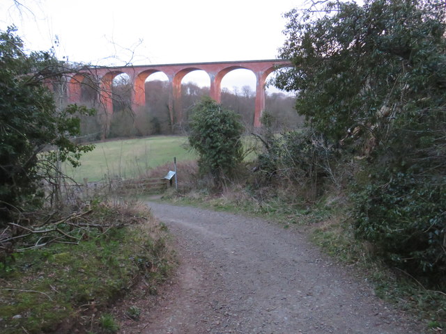
Image: © Malc McDonald Taken: 2 Mar 2019
The Cleveland Way near Saltburn by the Sea. The viaduct in the background carries a railway line, which is used only by freight trains. Passenger trains crossing the viaduct ceased as long ago as 1957.
Images are licensed for reuse under creativecommons.org/licenses/by-sa/2.0
Image Location
Latitude
54.57332
Longitude
-0.977172