Ferring, Henty Arms
Introduction
The photograph on this page of Ferring, Henty Arms by Mike Faherty as part of the Geograph project.
The Geograph project started in 2005 with the aim of publishing, organising and preserving representative images for every square kilometre of Great Britain, Ireland and the Isle of Man.

There are currently over 7.5m images from over 14,400 individuals and you can help contribute to the project by visiting https://www.geograph.org.uk
Ferring, Henty Arms
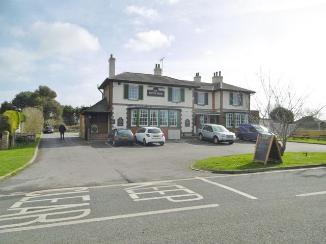
Image: © Mike Faherty Taken: 9 Mar 2019
Public house on Ferring Lane, dating from 1830, and faced with brick and pebbles. Internally, traditional two-room layout, with lounge left (eating and drinking) and public bar right (drinking); back central counter, pool, billiards, darts, TV, garden, and five cask ales on offer.
Images are licensed for reuse under creativecommons.org/licenses/by-sa/2.0
Image Location
Latitude
50.817365
Longitude
-0.446255