Kite Wood Road
Introduction
The photograph on this page of Kite Wood Road by Des Blenkinsopp as part of the Geograph project.
The Geograph project started in 2005 with the aim of publishing, organising and preserving representative images for every square kilometre of Great Britain, Ireland and the Isle of Man.

There are currently over 7.5m images from over 14,400 individuals and you can help contribute to the project by visiting https://www.geograph.org.uk
Kite Wood Road
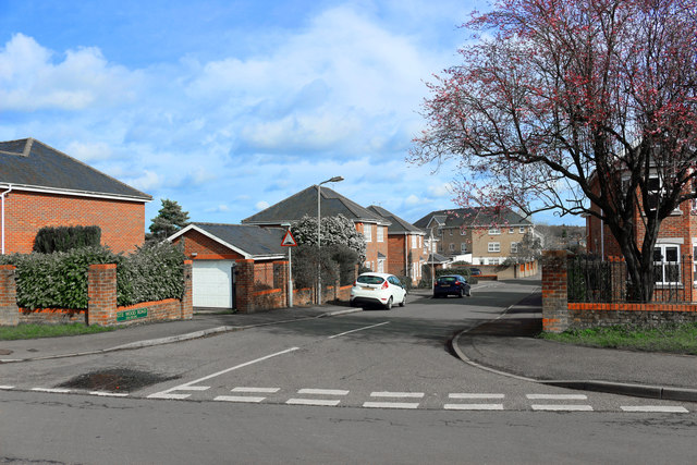
Image: © Des Blenkinsopp Taken: 4 Mar 2019
The building layout on the map doesn't match what is here now so this looks like a recent redevelopment of a brownfield site.
Images are licensed for reuse under creativecommons.org/licenses/by-sa/2.0
Image Location
Latitude
51.638179
Longitude
-0.703049