Hillside Housing
Introduction
The photograph on this page of Hillside Housing by Des Blenkinsopp as part of the Geograph project.
The Geograph project started in 2005 with the aim of publishing, organising and preserving representative images for every square kilometre of Great Britain, Ireland and the Isle of Man.

There are currently over 7.5m images from over 14,400 individuals and you can help contribute to the project by visiting https://www.geograph.org.uk
Hillside Housing
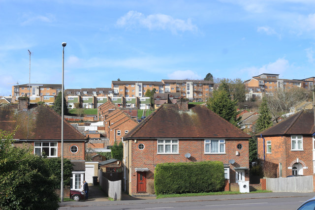
Image: © Des Blenkinsopp Taken: 4 Mar 2019
Houses on Micklefield Road, Horsenden Road, Roebuck Avenue and Hennerton Way, in ascending order.
Images are licensed for reuse under creativecommons.org/licenses/by-sa/2.0
Image Location
Latitude
51.624518
Longitude
-0.720052