Farmland, Ashmansworth
Introduction
The photograph on this page of Farmland, Ashmansworth by Andrew Smith as part of the Geograph project.
The Geograph project started in 2005 with the aim of publishing, organising and preserving representative images for every square kilometre of Great Britain, Ireland and the Isle of Man.

There are currently over 7.5m images from over 14,400 individuals and you can help contribute to the project by visiting https://www.geograph.org.uk
Farmland, Ashmansworth
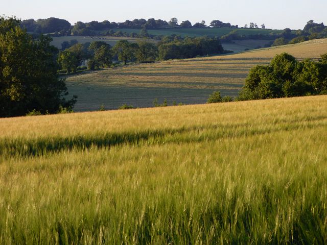
Image: © Andrew Smith Taken: 30 Jun 2018
A crop of barley on rolling Hampshire downland. The course of the A343 is in the line of trees in mid distance.
Images are licensed for reuse under creativecommons.org/licenses/by-sa/2.0
Image Location
Latitude
51.295789
Longitude
-1.409482