Former bus turning circle, Stenson Road, Sunnyhill (2)
Introduction
The photograph on this page of Former bus turning circle, Stenson Road, Sunnyhill (2) by Richard Vince as part of the Geograph project.
The Geograph project started in 2005 with the aim of publishing, organising and preserving representative images for every square kilometre of Great Britain, Ireland and the Isle of Man.

There are currently over 7.5m images from over 14,400 individuals and you can help contribute to the project by visiting https://www.geograph.org.uk
Former bus turning circle, Stenson Road, Sunnyhill (2)
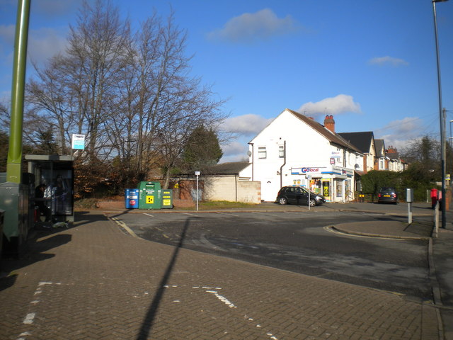
Image: © Richard Vince Taken: 2 Feb 2019
Still containing a bus stop, which is visited by buses on Arriva Derby route 7 as they travel from Sinfin to Derby city centre.
Images are licensed for reuse under creativecommons.org/licenses/by-sa/2.0
Image Location
Latitude
52.893557
Longitude
-1.495477