Ty Box Close, Pontnewydd, Cwmbran
Introduction
The photograph on this page of Ty Box Close, Pontnewydd, Cwmbran by Jaggery as part of the Geograph project.
The Geograph project started in 2005 with the aim of publishing, organising and preserving representative images for every square kilometre of Great Britain, Ireland and the Isle of Man.

There are currently over 7.5m images from over 14,400 individuals and you can help contribute to the project by visiting https://www.geograph.org.uk
Ty Box Close, Pontnewydd, Cwmbran
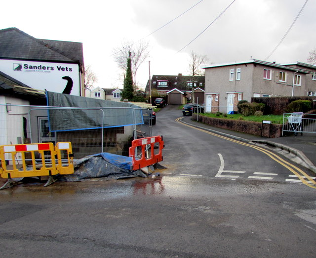
Image: © Jaggery Taken: 6 Mar 2019
Cul-de-sac on the south side of Commercial Street Pontnewydd. Sanders Vets veterinary surgery https://www.geograph.org.uk/photo/6081587 is on the left.
Images are licensed for reuse under creativecommons.org/licenses/by-sa/2.0
Image Location
Latitude
51.660705
Longitude
-3.028295