Ashlands, Main Street, Mickletown - closed
Introduction
The photograph on this page of Ashlands, Main Street, Mickletown - closed by Stephen Craven as part of the Geograph project.
The Geograph project started in 2005 with the aim of publishing, organising and preserving representative images for every square kilometre of Great Britain, Ireland and the Isle of Man.

There are currently over 7.5m images from over 14,400 individuals and you can help contribute to the project by visiting https://www.geograph.org.uk
Ashlands, Main Street, Mickletown - closed
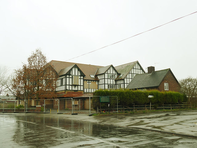
Image: © Stephen Craven Taken: 3 Mar 2019
A former care home Image which has closed in the last two years, and looks like it is about to be demolished.
Images are licensed for reuse under creativecommons.org/licenses/by-sa/2.0
Image Location
Latitude
53.739493
Longitude
-1.398383