The Bennett Centre
Introduction
The photograph on this page of The Bennett Centre by Michael Dibb as part of the Geograph project.
The Geograph project started in 2005 with the aim of publishing, organising and preserving representative images for every square kilometre of Great Britain, Ireland and the Isle of Man.

There are currently over 7.5m images from over 14,400 individuals and you can help contribute to the project by visiting https://www.geograph.org.uk
The Bennett Centre
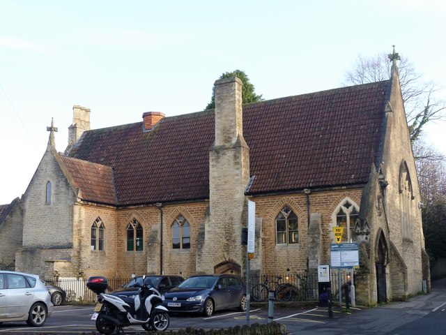
Image: © Michael Dibb Taken: 11 Dec 2018
The church hall of St John the Bptist was built in the 1850s as an infants school which continued in use until the late 1920s. Now used as a community centre.
Images are licensed for reuse under creativecommons.org/licenses/by-sa/2.0
Image Location


Leaflet Map data © OpenStreetMap
Latitude
51.22958
Longitude
-2.319894