Barnes from the air
Introduction
The photograph on this page of Barnes from the air by Thomas Nugent as part of the Geograph project.
The Geograph project started in 2005 with the aim of publishing, organising and preserving representative images for every square kilometre of Great Britain, Ireland and the Isle of Man.

There are currently over 7.5m images from over 14,400 individuals and you can help contribute to the project by visiting https://www.geograph.org.uk
Barnes from the air
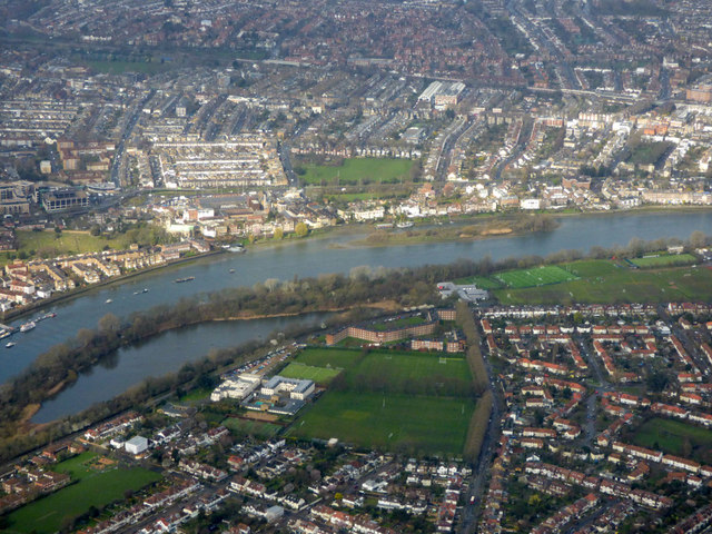
Image: © Thomas Nugent Taken: 28 Feb 2019
The Harrodian School and playing fields are prominent on the site of the former Harrods sports club. Leg o Mutton nature reserve https://www.richmond.gov.uk/services/parks_and_open_spaces/find_a_park/leg_o_mutton can also be seen, to the left by the Thames. Viewed on approach to Heathrow from the east.
Images are licensed for reuse under creativecommons.org/licenses/by-sa/2.0
Image Location
Latitude
51.480335
Longitude
-0.244247