OS benchmark - Churchbridge, Wash Brook bridge
Introduction
The photograph on this page of OS benchmark - Churchbridge, Wash Brook bridge by Richard Law as part of the Geograph project.
The Geograph project started in 2005 with the aim of publishing, organising and preserving representative images for every square kilometre of Great Britain, Ireland and the Isle of Man.

There are currently over 7.5m images from over 14,400 individuals and you can help contribute to the project by visiting https://www.geograph.org.uk
OS benchmark - Churchbridge, Wash Brook bridge
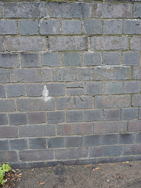
Image: © Richard Law Taken: 14 Jan 2019
Seen many times passing along the A5, but visited on this occasion by bike. The benchmark was levelled in 1963 at 121.914m above Ordnance Datum Newlyn.
Images are licensed for reuse under creativecommons.org/licenses/by-sa/2.0
Image Location
Latitude
52.66935
Longitude
-2.010013