Castleberg Fort, Nesfield
Introduction
The photograph on this page of Castleberg Fort, Nesfield by David Spencer as part of the Geograph project.
The Geograph project started in 2005 with the aim of publishing, organising and preserving representative images for every square kilometre of Great Britain, Ireland and the Isle of Man.

There are currently over 7.5m images from over 14,400 individuals and you can help contribute to the project by visiting https://www.geograph.org.uk
Castleberg Fort, Nesfield
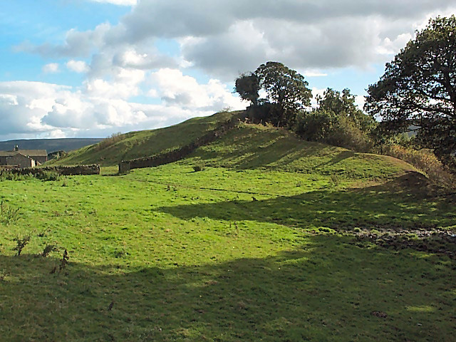
Image: © David Spencer Taken: 29 Sep 2005
Thought to be an iron age fort (but never properly investigated), it sits atop a sizeable natural hill at a bend in the River Wharfe (which runs to the right and below).
Images are licensed for reuse under creativecommons.org/licenses/by-sa/2.0
Image Location


Leaflet Map data © OpenStreetMap
Latitude
53.940633
Longitude
-1.861339