Field and trees above Bridgetown
Introduction
The photograph on this page of Field and trees above Bridgetown by Derek Harper as part of the Geograph project.
The Geograph project started in 2005 with the aim of publishing, organising and preserving representative images for every square kilometre of Great Britain, Ireland and the Isle of Man.

There are currently over 7.5m images from over 14,400 individuals and you can help contribute to the project by visiting https://www.geograph.org.uk
Field and trees above Bridgetown
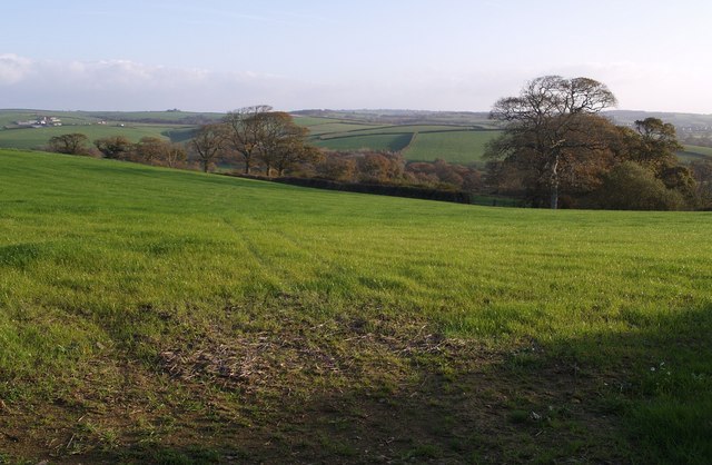
Image: © Derek Harper Taken: 9 Nov 2007
An irregular-shaped field (the field boundary with the trees cuts an angle out of it) on the slopes of the Tamar valley, seen from the lane between Wilkie Down Farm and Bridgetown.
Images are licensed for reuse under creativecommons.org/licenses/by-sa/2.0
Image Location
Latitude
50.682174
Longitude
-4.358183