Bend in the river Dane
Introduction
The photograph on this page of Bend in the river Dane by Stephen Craven as part of the Geograph project.
The Geograph project started in 2005 with the aim of publishing, organising and preserving representative images for every square kilometre of Great Britain, Ireland and the Isle of Man.

There are currently over 7.5m images from over 14,400 individuals and you can help contribute to the project by visiting https://www.geograph.org.uk
Bend in the river Dane
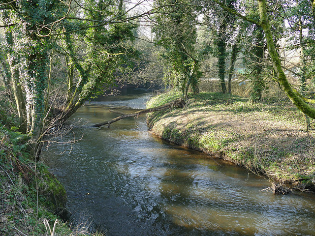
Image: © Stephen Craven Taken: 23 Feb 2019
The Dane is quite meandering in this stretch, and at this point performs a bend of about 120 degrees around the peninsula occupied by Massey Feeds.
Images are licensed for reuse under creativecommons.org/licenses/by-sa/2.0
Image Location
Latitude
53.204372
Longitude
-2.364509