Path from Sadlers Close into Moreton Drive
Introduction
The photograph on this page of Path from Sadlers Close into Moreton Drive by Stephen Craven as part of the Geograph project.
The Geograph project started in 2005 with the aim of publishing, organising and preserving representative images for every square kilometre of Great Britain, Ireland and the Isle of Man.

There are currently over 7.5m images from over 14,400 individuals and you can help contribute to the project by visiting https://www.geograph.org.uk
Path from Sadlers Close into Moreton Drive
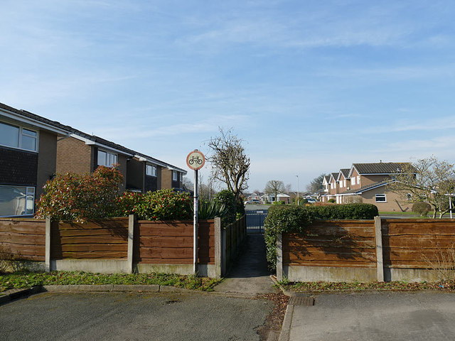
Image: © Stephen Craven Taken: 23 Feb 2019
It's not clear whether the estate was built like this, with two roads almost end-to-end and a short path connecting them, or whether a through road has been closed to motor traffic to prevent rat running.
Images are licensed for reuse under creativecommons.org/licenses/by-sa/2.0
Image Location
Latitude
53.203207
Longitude
-2.363601