St Mary's CoI Drumbanagher viewed from the towpath
Introduction
The photograph on this page of St Mary's CoI Drumbanagher viewed from the towpath by Eric Jones as part of the Geograph project.
The Geograph project started in 2005 with the aim of publishing, organising and preserving representative images for every square kilometre of Great Britain, Ireland and the Isle of Man.

There are currently over 7.5m images from over 14,400 individuals and you can help contribute to the project by visiting https://www.geograph.org.uk
St Mary's CoI Drumbanagher viewed from the towpath
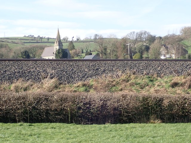
Image: © Eric Jones Taken: 21 Feb 2019
St Mary's was built by the Closes, the squires of Drumbanagher House, in the late 1840s. The ruins of an older church stands in the adjoining graveyard. Here, the church is seen from the Newry Canal towpath and across the embankment of the Belfast to Dublin railway line. http://www.strongholdpreservation.com/st-mary%27s-church-of-ireland,-drumbanagher-bird-control-proofing-deter-pigeon-spikes-northern-ireland-ni.aspx
Images are licensed for reuse under creativecommons.org/licenses/by-sa/2.0
Image Location
Latitude
54.249877
Longitude
-6.376676