Bridge on the towpath north of Jerrettspass
Introduction
The photograph on this page of Bridge on the towpath north of Jerrettspass by Eric Jones as part of the Geograph project.
The Geograph project started in 2005 with the aim of publishing, organising and preserving representative images for every square kilometre of Great Britain, Ireland and the Isle of Man.

There are currently over 7.5m images from over 14,400 individuals and you can help contribute to the project by visiting https://www.geograph.org.uk
Bridge on the towpath north of Jerrettspass
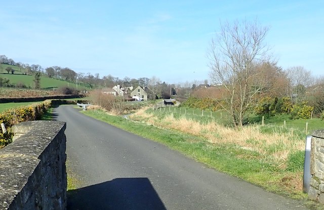
Image: © Eric Jones Taken: 21 Feb 2019
This spans a stream which rises near Lissimmon Fort Image] and which flows beneath the A27 and the railway line to discharges into the Newry Canal. Murphy's Lock can be seen in the middle distance. Image]
Images are licensed for reuse under creativecommons.org/licenses/by-sa/2.0
Image Location
Latitude
54.243794
Longitude
-6.372006