Station Lane, Witney
Introduction
The photograph on this page of Station Lane, Witney by Richard Rogerson as part of the Geograph project.
The Geograph project started in 2005 with the aim of publishing, organising and preserving representative images for every square kilometre of Great Britain, Ireland and the Isle of Man.

There are currently over 7.5m images from over 14,400 individuals and you can help contribute to the project by visiting https://www.geograph.org.uk
Station Lane, Witney
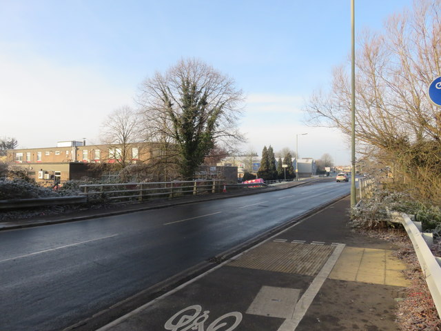
Image: © Richard Rogerson Taken: 31 Jan 2019
View looking towards the west as the road crosses Emma's Dyke on a cold frosty morning.
Images are licensed for reuse under creativecommons.org/licenses/by-sa/2.0
Image Location
Latitude
51.777566
Longitude
-1.48859