Welling Way
Introduction
The photograph on this page of Welling Way by Derek Harper as part of the Geograph project.
The Geograph project started in 2005 with the aim of publishing, organising and preserving representative images for every square kilometre of Great Britain, Ireland and the Isle of Man.

There are currently over 7.5m images from over 14,400 individuals and you can help contribute to the project by visiting https://www.geograph.org.uk
Welling Way
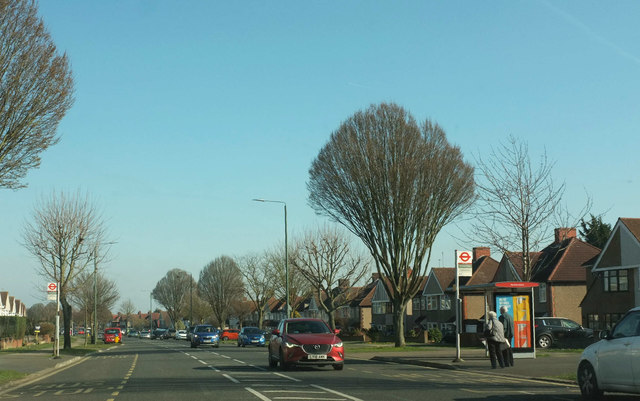
Image: © Derek Harper Taken: 23 Feb 2019
A gently curving road that starts in Oxleas Wood at its western end but mostly runs through suburban housing to meet the A207 Dover Road in Welling.
Images are licensed for reuse under creativecommons.org/licenses/by-sa/2.0
Image Location
Latitude
51.461648
Longitude
0.084125