Sheviock Tollhouse by the A347, Main Street, Sheviock
Introduction
The photograph on this page of Sheviock Tollhouse by the A347, Main Street, Sheviock by Alan Rosevear as part of the Geograph project.
The Geograph project started in 2005 with the aim of publishing, organising and preserving representative images for every square kilometre of Great Britain, Ireland and the Isle of Man.

There are currently over 7.5m images from over 14,400 individuals and you can help contribute to the project by visiting https://www.geograph.org.uk
Sheviock Tollhouse by the A347, Main Street, Sheviock
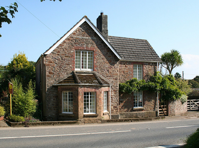
Image: © Alan Rosevear Taken: 19 Sep 2008
Tollhouse by the A347, in the parish of Sheviock (Caradon District), Toll House, Main Street, PL11 3ER. Opposite the junction with Sheviock Lane. Cornwall & Scilly HER. HER Number: 6412 https://www.heritagegateway.org.uk/Gateway/Results_Single.aspx?uid=MCO23298&resourceID=1020 Surveyed Milestone Society National ID: CW.SHE
Images are licensed for reuse under creativecommons.org/licenses/by-sa/2.0
Image Location
Latitude
50.372589
Longitude
-4.293301