Tollhouse by Grenville Road, Lostwithiel
Introduction
The photograph on this page of Tollhouse by Grenville Road, Lostwithiel by Alan Rosevear as part of the Geograph project.
The Geograph project started in 2005 with the aim of publishing, organising and preserving representative images for every square kilometre of Great Britain, Ireland and the Isle of Man.

There are currently over 7.5m images from over 14,400 individuals and you can help contribute to the project by visiting https://www.geograph.org.uk
Tollhouse by Grenville Road, Lostwithiel
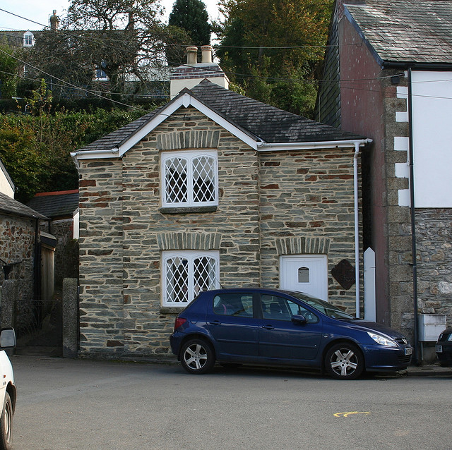
Image: © Alan Rosevear Taken: 18 Oct 2008
In the parish of Lostwithiel (Restormel District), The Old Toll House, No. 1, Grenville Road, just East of the Peace Memorial PL22. Grade II listed. List Entry Number: 1327320 https://historicengland.org.uk/listing/the-list/list-entry/1327320 Surveyed Milestone Society National ID: CW.LOS
Images are licensed for reuse under creativecommons.org/licenses/by-sa/2.0
Image Location
Latitude
50.407619
Longitude
-4.664302