Towards the A497
Introduction
The photograph on this page of Towards the A497 by DS Pugh as part of the Geograph project.
The Geograph project started in 2005 with the aim of publishing, organising and preserving representative images for every square kilometre of Great Britain, Ireland and the Isle of Man.

There are currently over 7.5m images from over 14,400 individuals and you can help contribute to the project by visiting https://www.geograph.org.uk
Towards the A497
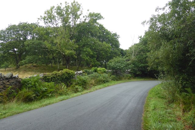
Image: © DS Pugh Taken: 2 Aug 2018
This road links Blackrock Sands to the A497.
Images are licensed for reuse under creativecommons.org/licenses/by-sa/2.0
Image Location
Latitude
52.929646
Longitude
-4.174706