Old Milestone by the former B2097, Old Chatham Road, Sandling
Introduction
The photograph on this page of Old Milestone by the former B2097, Old Chatham Road, Sandling by C Woodward as part of the Geograph project.
The Geograph project started in 2005 with the aim of publishing, organising and preserving representative images for every square kilometre of Great Britain, Ireland and the Isle of Man.

There are currently over 7.5m images from over 14,400 individuals and you can help contribute to the project by visiting https://www.geograph.org.uk
Old Milestone by the former B2097, Old Chatham Road, Sandling
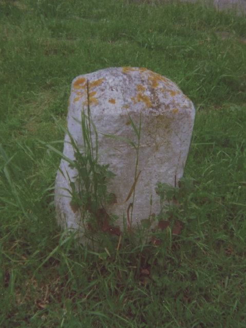
Image: © C Woodward Taken: 2 Jun 2008
Carved stone post by the UC road (was B2097), in parish of BOXLEY (MAIDSTONE District), junction of access lane with Old Chatham Road, Sandling, by Bakery Cottages, on open grass by lane, on West side of road. Rochester stone, erected by the Rochester & Maidstone turnpike trust in the 19th century. Inscription reads:- : 2 / (Mi)l(es) / TO / MAID / STONE : : 5 / Miles / TO / (R)OCHESTER : Kent HER. HER Number: TQ 75 NE 890 https://www.heritagegateway.org.uk/Gateway/Results_Single.aspx?uid=MKE78147&resourceID=1005 Milestone Society National ID: KE_MDRC02.
Images are licensed for reuse under creativecommons.org/licenses/by-sa/2.0
Image Location
Latitude
51.306152
Longitude
0.514081