Tollhouse by the A422, West Street, Buckingham
Introduction
The photograph on this page of Tollhouse by the A422, West Street, Buckingham by Alan Rosevear as part of the Geograph project.
The Geograph project started in 2005 with the aim of publishing, organising and preserving representative images for every square kilometre of Great Britain, Ireland and the Isle of Man.

There are currently over 7.5m images from over 14,400 individuals and you can help contribute to the project by visiting https://www.geograph.org.uk
Tollhouse by the A422, West Street, Buckingham
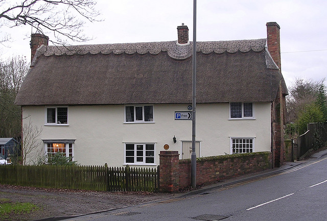
Image: © Alan Rosevear Taken: Unknown
Tollhouse in the parish of Buckingham (Aylesbury Vale District), No. 14, West Street, MK18 1HP. Grade II listed. List Entry Number: 1282696 https://historicengland.org.uk/listing/the-list/list-entry/1282696 Surveyed Milestone Society National ID: BU.BUC
Images are licensed for reuse under creativecommons.org/licenses/by-sa/2.0
Image Location
Latitude
52.000197
Longitude
-0.991788