Woodlands of the Dromantine Demesne viewed from Gambles Road
Introduction
The photograph on this page of Woodlands of the Dromantine Demesne viewed from Gambles Road by Eric Jones as part of the Geograph project.
The Geograph project started in 2005 with the aim of publishing, organising and preserving representative images for every square kilometre of Great Britain, Ireland and the Isle of Man.

There are currently over 7.5m images from over 14,400 individuals and you can help contribute to the project by visiting https://www.geograph.org.uk
Woodlands of the Dromantine Demesne viewed from Gambles Road
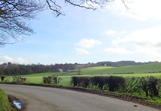
Image: © Eric Jones Taken: 21 Feb 2019
The chimneys of Dromantine House can be seen above the trees on the extreme left. Built for the Innes family in the 19thC on the site of an older house, it was bought by the Society for African Missions, a Catholic missionary order, together with 320 acres of land in 1926, and converted into a seminary. Today, although still owned by the SMA, it is used mainly for diocesan retreats. http://lordbelmontinnorthernireland.blogspot.com/2014/10/dromantine-house.html
Images are licensed for reuse under creativecommons.org/licenses/by-sa/2.0
Image Location
Latitude
54.261812
Longitude
-6.342596