Public footpath towards Salt Lane, Cliffe
Introduction
The photograph on this page of Public footpath towards Salt Lane, Cliffe by Robin Webster as part of the Geograph project.
The Geograph project started in 2005 with the aim of publishing, organising and preserving representative images for every square kilometre of Great Britain, Ireland and the Isle of Man.

There are currently over 7.5m images from over 14,400 individuals and you can help contribute to the project by visiting https://www.geograph.org.uk
Public footpath towards Salt Lane, Cliffe
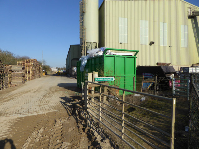
Image: © Robin Webster Taken: 24 Feb 2019
The path from the sea wall crosses the track between the gravel processing and the block making parts of the Brett Aggregates works. It then follows a narrow corridor between these parts.
Images are licensed for reuse under creativecommons.org/licenses/by-sa/2.0
Image Location
Latitude
51.452729
Longitude
0.473504