West gable end of Borthwen Terrace from Orielton Gardens
Introduction
The photograph on this page of West gable end of Borthwen Terrace from Orielton Gardens by David Bowen as part of the Geograph project.
The Geograph project started in 2005 with the aim of publishing, organising and preserving representative images for every square kilometre of Great Britain, Ireland and the Isle of Man.

There are currently over 7.5m images from over 14,400 individuals and you can help contribute to the project by visiting https://www.geograph.org.uk
West gable end of Borthwen Terrace from Orielton Gardens
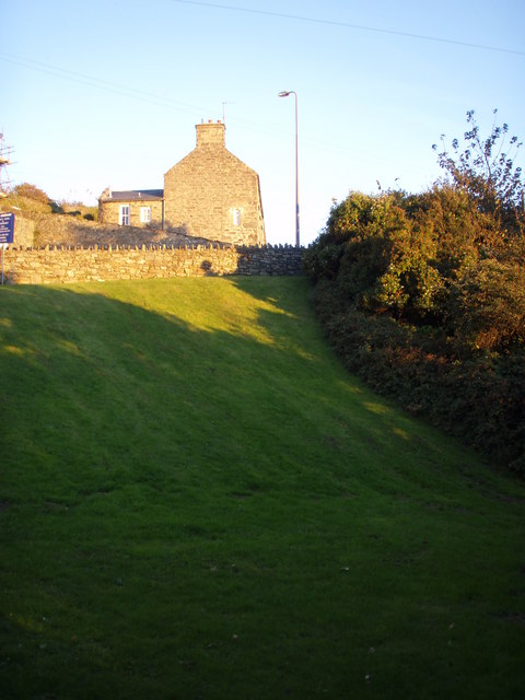
Image: © David Bowen Taken: 23 Oct 2007
Western gable end of Borthwen Terrace from Orielton Gardens. The other side of the wall which runs diagonally across the picture is Aberamffra Rd (A496). Penralt House is just out of shot to the far right, Porking Terrace is behind me. Picture 4.30 23rd October 2007.
Images are licensed for reuse under creativecommons.org/licenses/by-sa/2.0
Image Location
Latitude
52.720216
Longitude
-4.044772