Track from end of Mill Lane, Aberporth
Introduction
The photograph on this page of Track from end of Mill Lane, Aberporth by M J Roscoe as part of the Geograph project.
The Geograph project started in 2005 with the aim of publishing, organising and preserving representative images for every square kilometre of Great Britain, Ireland and the Isle of Man.

There are currently over 7.5m images from over 14,400 individuals and you can help contribute to the project by visiting https://www.geograph.org.uk
Track from end of Mill Lane, Aberporth
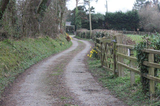
Image: © M J Roscoe Taken: 23 Feb 2019
The public footpath on the track leads to the Yr Hendre Poetry Trail.
Images are licensed for reuse under creativecommons.org/licenses/by-sa/2.0
Image Location


Leaflet Map data © OpenStreetMap
Latitude
52.127391
Longitude
-4.544365