Road to Ty Pontrhun, Troedyrhiw
Introduction
The photograph on this page of Road to Ty Pontrhun, Troedyrhiw by Jaggery as part of the Geograph project.
The Geograph project started in 2005 with the aim of publishing, organising and preserving representative images for every square kilometre of Great Britain, Ireland and the Isle of Man.

There are currently over 7.5m images from over 14,400 individuals and you can help contribute to the project by visiting https://www.geograph.org.uk
Road to Ty Pontrhun, Troedyrhiw
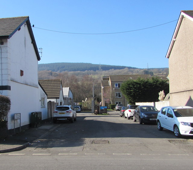
Image: © Jaggery Taken: 27 Feb 2019
From the west side of the A4054, the road leads to Ty Pontrhun retirement housing. https://www.geograph.org.uk/photo/6074903
Images are licensed for reuse under creativecommons.org/licenses/by-sa/2.0
Image Location
Latitude
51.71565
Longitude
-3.347708