View NNW along Canal Bank in the direction of Poyntzpass
Introduction
The photograph on this page of View NNW along Canal Bank in the direction of Poyntzpass by Eric Jones as part of the Geograph project.
The Geograph project started in 2005 with the aim of publishing, organising and preserving representative images for every square kilometre of Great Britain, Ireland and the Isle of Man.

There are currently over 7.5m images from over 14,400 individuals and you can help contribute to the project by visiting https://www.geograph.org.uk
View NNW along Canal Bank in the direction of Poyntzpass
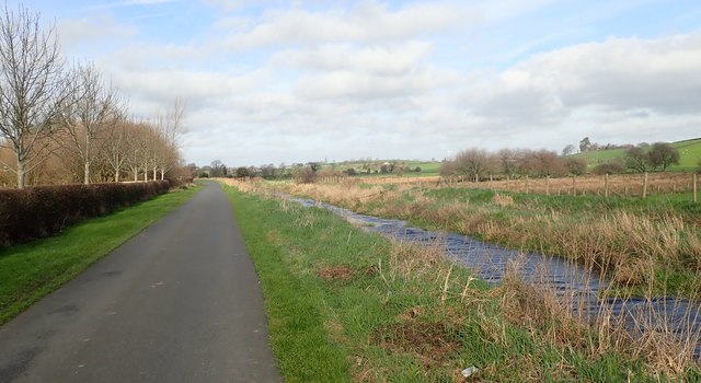
Image: © Eric Jones Taken: 21 Feb 2019
The land on the east side of the canal is wetland. The Newry Canal between Poyntzpass and Jerrettspass was constructed through riverine marshes. The two villages developed at locations where the wetland could be crossed, such locations being known as 'passes'.
Images are licensed for reuse under creativecommons.org/licenses/by-sa/2.0
Image Location
Latitude
54.275945
Longitude
-6.357689