A timber and iron sheeting bridge between Locks 10 and 9
Introduction
The photograph on this page of A timber and iron sheeting bridge between Locks 10 and 9 by Eric Jones as part of the Geograph project.
The Geograph project started in 2005 with the aim of publishing, organising and preserving representative images for every square kilometre of Great Britain, Ireland and the Isle of Man.

There are currently over 7.5m images from over 14,400 individuals and you can help contribute to the project by visiting https://www.geograph.org.uk
A timber and iron sheeting bridge between Locks 10 and 9
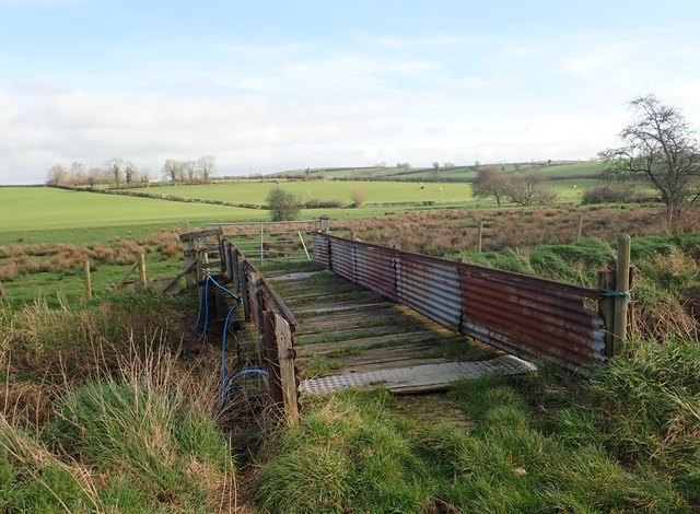
Image: © Eric Jones Taken: 21 Feb 2019
The image was taken from the Canal Bank road.
Images are licensed for reuse under creativecommons.org/licenses/by-sa/2.0
Image Location
Latitude
54.277119
Longitude
-6.358103