Field boundary in the Mole valley
Introduction
The photograph on this page of Field boundary in the Mole valley by Derek Harper as part of the Geograph project.
The Geograph project started in 2005 with the aim of publishing, organising and preserving representative images for every square kilometre of Great Britain, Ireland and the Isle of Man.

There are currently over 7.5m images from over 14,400 individuals and you can help contribute to the project by visiting https://www.geograph.org.uk
Field boundary in the Mole valley
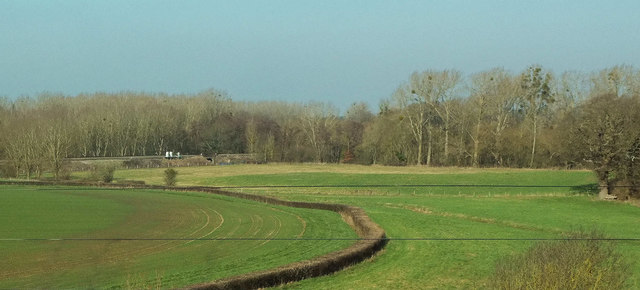
Image: © Derek Harper Taken: 23 Feb 2019
On the right is Wrens Hill Wood. An unnamed tributary of the Mole (which is not far off to the right) runs through the field to the right of the curving hedge. Across the fields on the left is the railway line between Effingham and Stoke D'Abernon. View from the M25.
Images are licensed for reuse under creativecommons.org/licenses/by-sa/2.0
Image Location
Latitude
51.309205
Longitude
-0.39455