Former manse of Keig
Introduction
The photograph on this page of Former manse of Keig by Bill Harrison as part of the Geograph project.
The Geograph project started in 2005 with the aim of publishing, organising and preserving representative images for every square kilometre of Great Britain, Ireland and the Isle of Man.

There are currently over 7.5m images from over 14,400 individuals and you can help contribute to the project by visiting https://www.geograph.org.uk
Former manse of Keig
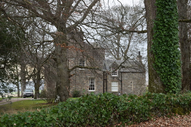
Image: © Bill Harrison Taken: 23 Feb 2019
Now known as Keig House and probably bigger than the kirk across the road... C-listed (LB9063): http://portal.historicenvironment.scot/designation/LB9063 .
Images are licensed for reuse under creativecommons.org/licenses/by-sa/2.0
Image Location
Latitude
57.262068
Longitude
-2.647183