View north towards Abergele
Introduction
The photograph on this page of View north towards Abergele by Eirian Evans as part of the Geograph project.
The Geograph project started in 2005 with the aim of publishing, organising and preserving representative images for every square kilometre of Great Britain, Ireland and the Isle of Man.

There are currently over 7.5m images from over 14,400 individuals and you can help contribute to the project by visiting https://www.geograph.org.uk
View north towards Abergele
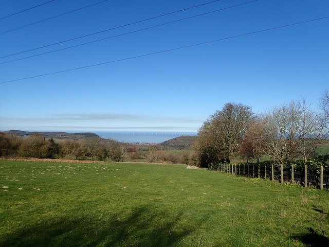
Image: © Eirian Evans Taken: 26 Feb 2019
Abergele is in the dip at the centre, and the offshore wind farm, Gwynt y Mor, is seen just below the horizon.
Images are licensed for reuse under creativecommons.org/licenses/by-sa/2.0
Image Location


Leaflet Map data © OpenStreetMap
Latitude
53.259738
Longitude
-3.57162