Hastings Avenue, Marshfields
Introduction
The photograph on this page of Hastings Avenue, Marshfields by Stephen Armstrong as part of the Geograph project.
The Geograph project started in 2005 with the aim of publishing, organising and preserving representative images for every square kilometre of Great Britain, Ireland and the Isle of Man.

There are currently over 7.5m images from over 14,400 individuals and you can help contribute to the project by visiting https://www.geograph.org.uk
Hastings Avenue, Marshfields
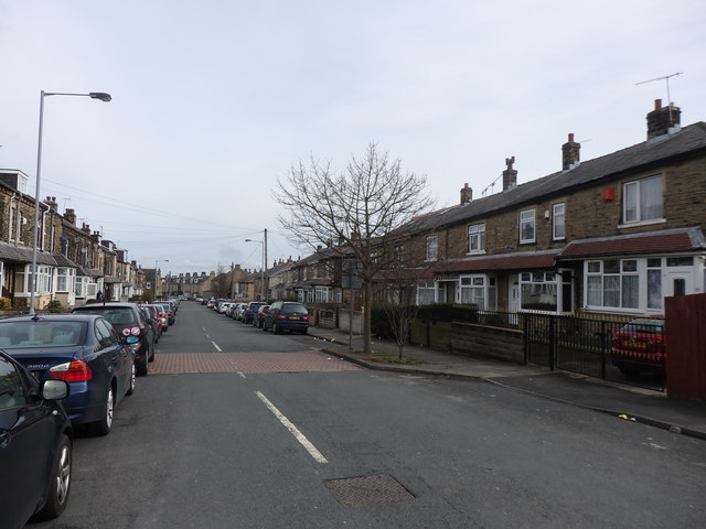
Image: © Stephen Armstrong Taken: 8 Apr 2018
This is the bottom half of the street, from Broadway Avenue down to Marsh Street. I bought my first house on here in 1979 for £10,500 and sold it 3 years later for £12,500.
Images are licensed for reuse under creativecommons.org/licenses/by-sa/2.0
Image Location
Latitude
53.774205
Longitude
-1.763564