Old Boundary Marker by the B3073, Fairmile Road, Christchurch
Introduction
The photograph on this page of Old Boundary Marker by the B3073, Fairmile Road, Christchurch by Milestone Society as part of the Geograph project.
The Geograph project started in 2005 with the aim of publishing, organising and preserving representative images for every square kilometre of Great Britain, Ireland and the Isle of Man.

There are currently over 7.5m images from over 14,400 individuals and you can help contribute to the project by visiting https://www.geograph.org.uk
Old Boundary Marker by the B3073, Fairmile Road, Christchurch
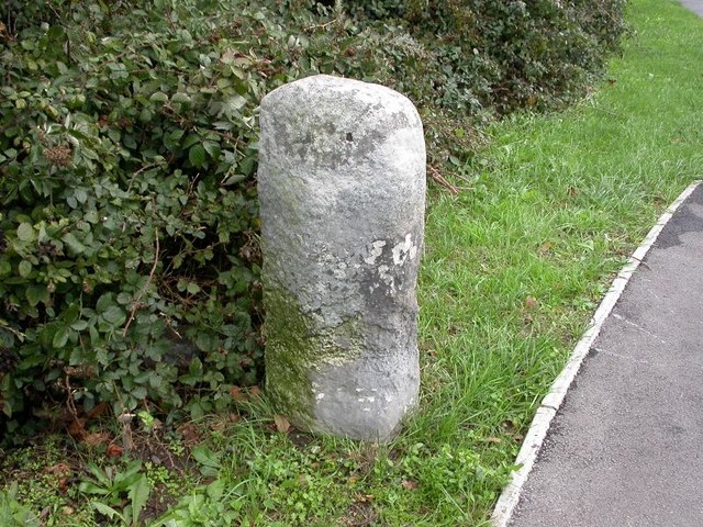
Image: © Milestone Society Taken: Unknown
Parish Boundary Marker by the B3073, in parish of Christchurch (Christchurch District), Fairmile Road, 32m South of roundabout. N.B. Listed as a milestone, but the 1888 O.S. map shows it as a 'BS' on the Municipal Boundary. Grade II listed. List Entry Number: 1110100 https://historicengland.org.uk/listing/the-list/list-entry/1110100 Surveyed Milestone Society National ID: HA_CHRpb
Images are licensed for reuse under creativecommons.org/licenses/by-sa/2.0
Image Location
Latitude
50.74463
Longitude
-1.787479