Old Milestone west of Tunley Farm
Introduction
The photograph on this page of Old Milestone west of Tunley Farm by M Faherty as part of the Geograph project.
The Geograph project started in 2005 with the aim of publishing, organising and preserving representative images for every square kilometre of Great Britain, Ireland and the Isle of Man.

There are currently over 7.5m images from over 14,400 individuals and you can help contribute to the project by visiting https://www.geograph.org.uk
Old Milestone west of Tunley Farm
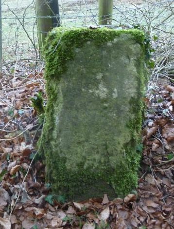
Image: © M Faherty Taken: 3 Feb 2012
Carved stone post by the UC road, in parish of BISLEY WITH LYPIATT (STROUD District), Tunley, 250m West of entrance to Tunley Farm on verge against barbed wire fence, on North side of road. Erected by the Cirencester to Stroud turnpike trust in the 18th century. Inscription reads:- VII Miles t(o) (Ci)ren(..)te(r) Carved benchmark and rivet on top. Gloucestershire CC. Monument Number: 6457 https://www.heritagegateway.org.uk/Gateway/Results_Single.aspx?uid=6457&resourceID=108 Milestone Society National ID: GL_CIBI07.
Images are licensed for reuse under creativecommons.org/licenses/by-sa/2.0
Image Location
Latitude
51.740247
Longitude
-2.093654